
Why use a West Highland Way map app?
A paper map is reliable, but it cannot tell you where you are standing. The Way's route is stored in the app as a GPS track and your phone finds its own position from satellites, so between Rowardennan and Kinlochleven — where the signal goes — you can still see the line of the trail and yourself on it.
Android has the map built in. On iPhone the terrain is drawn by Apple Maps, so it may not appear without a signal — but your position and the route line still show, which is all you need to walk yourself back on track.
Know where you are without a signal
The route is built into the app and your phone finds its position from satellites, not phone masts. You can see exactly where you are on the West Highland Way even with no signal at all.
Set a goal for each day
Tell the app where you are walking to each day — Drymen on day one, Rowardennan on day two — and it guides you there. You always know how far is left today, how the stage is going, and how far remains of the whole walk.
Elevation profiles
See the climbs and descents for the full walk and for each day — distance, ascent, descent and the high point — so you know which days will be the toughest before you set off. On iPhone, climbs are named and given a difficulty.
Find your way back to the route
Took a wrong turn, or staying somewhere off the trail? The app shows you the way back to the route line, so you can rejoin it where you left off or head straight to it in the morning.
Walk it in either direction
Heading north from Milngavie to Fort William, or south from Fort William to Milngavie? Switch direction and the guidance, distances and daily goals all follow the way you are actually walking.
App screenshots
iPhone
Includes day and night mode
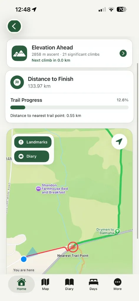
Map and live position
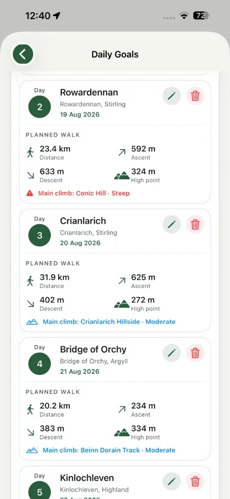
Daily goals
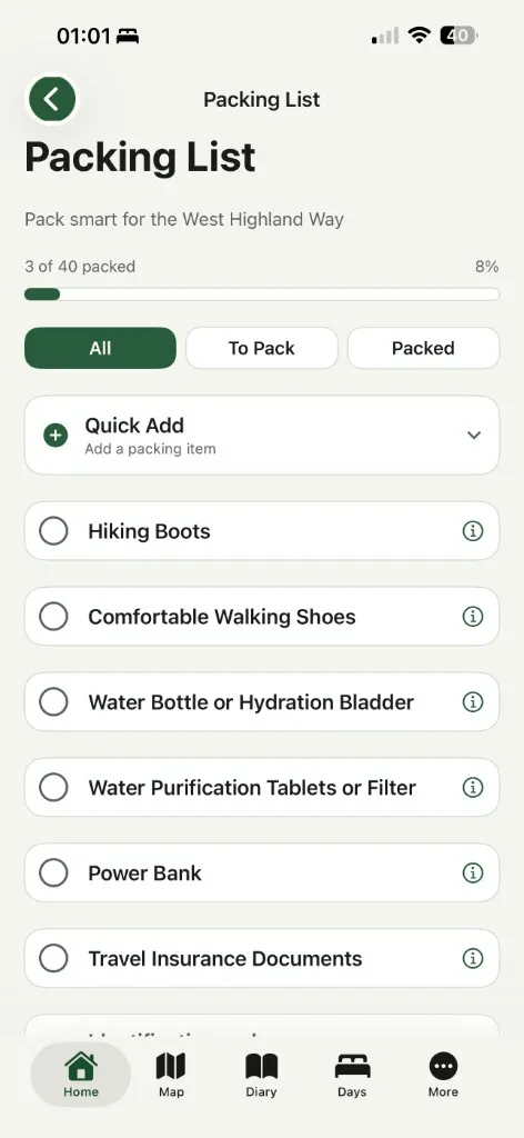
Packing list
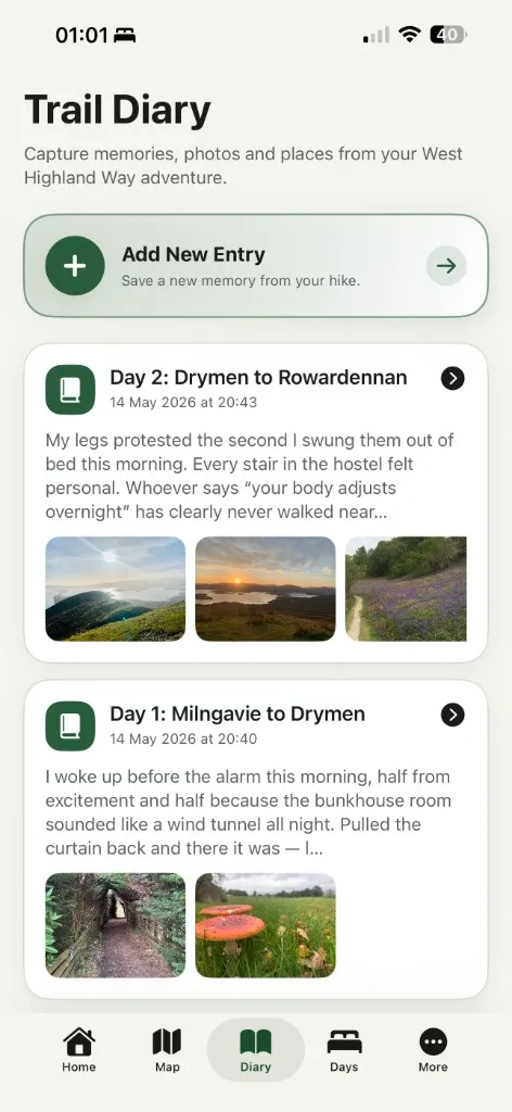
Trail diary
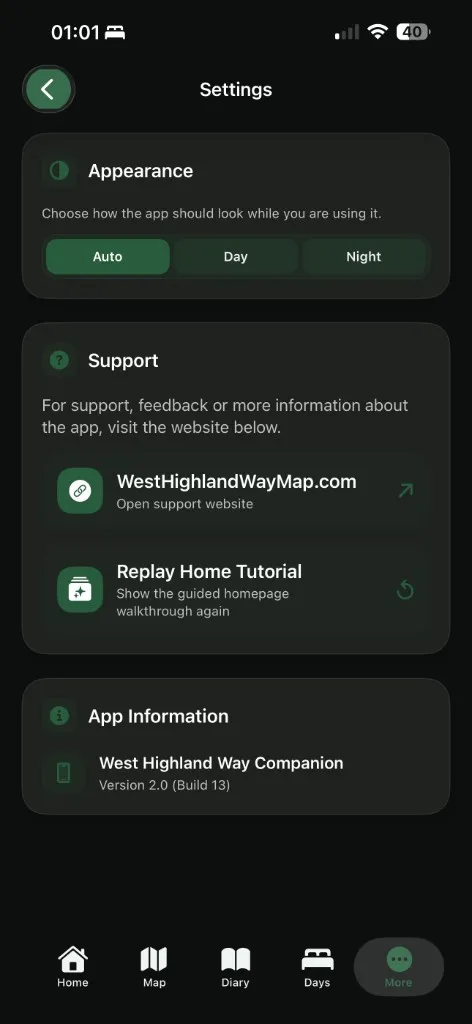
Day and night mode
Android
Includes the built-in map and elevation profiles
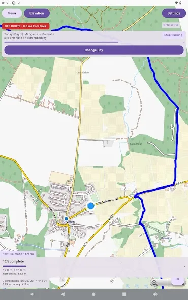
Map and live position
Daily goals
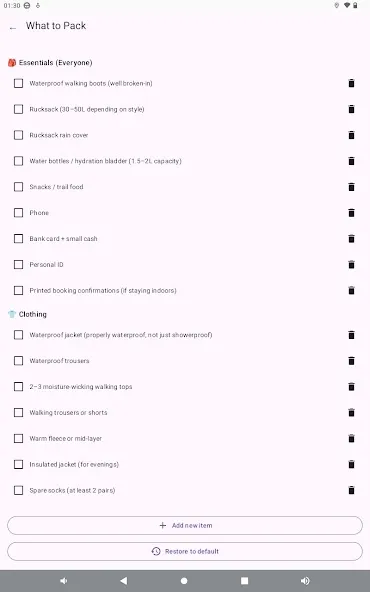
What to pack
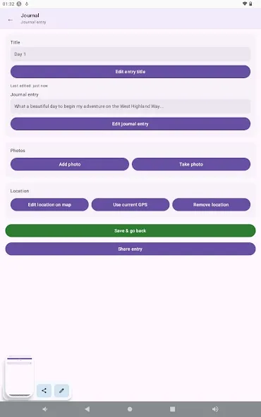
Journal
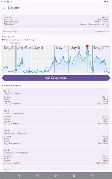
Elevation profile
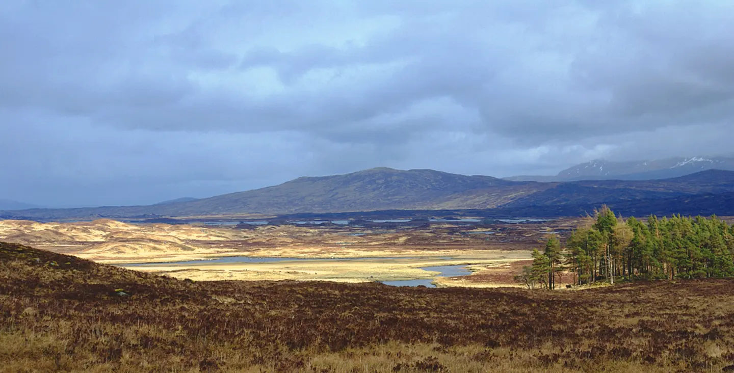
Trail overview
The West Highland Way runs 96 miles (154 km) from Milngavie on the edge of Glasgow to Fort William beneath Ben Nevis. Most walkers take about a week, though the app leaves the split up to you: set a destination for each day and it tracks the distance left for today and for the walk as a whole.
Get the app
Available for iPhone and Android. A one-off purchase, no subscription.