
Milngavie → Drymen
12 miles (19 km) · Easy
A gentle start through suburban Glasgow and into the countryside.
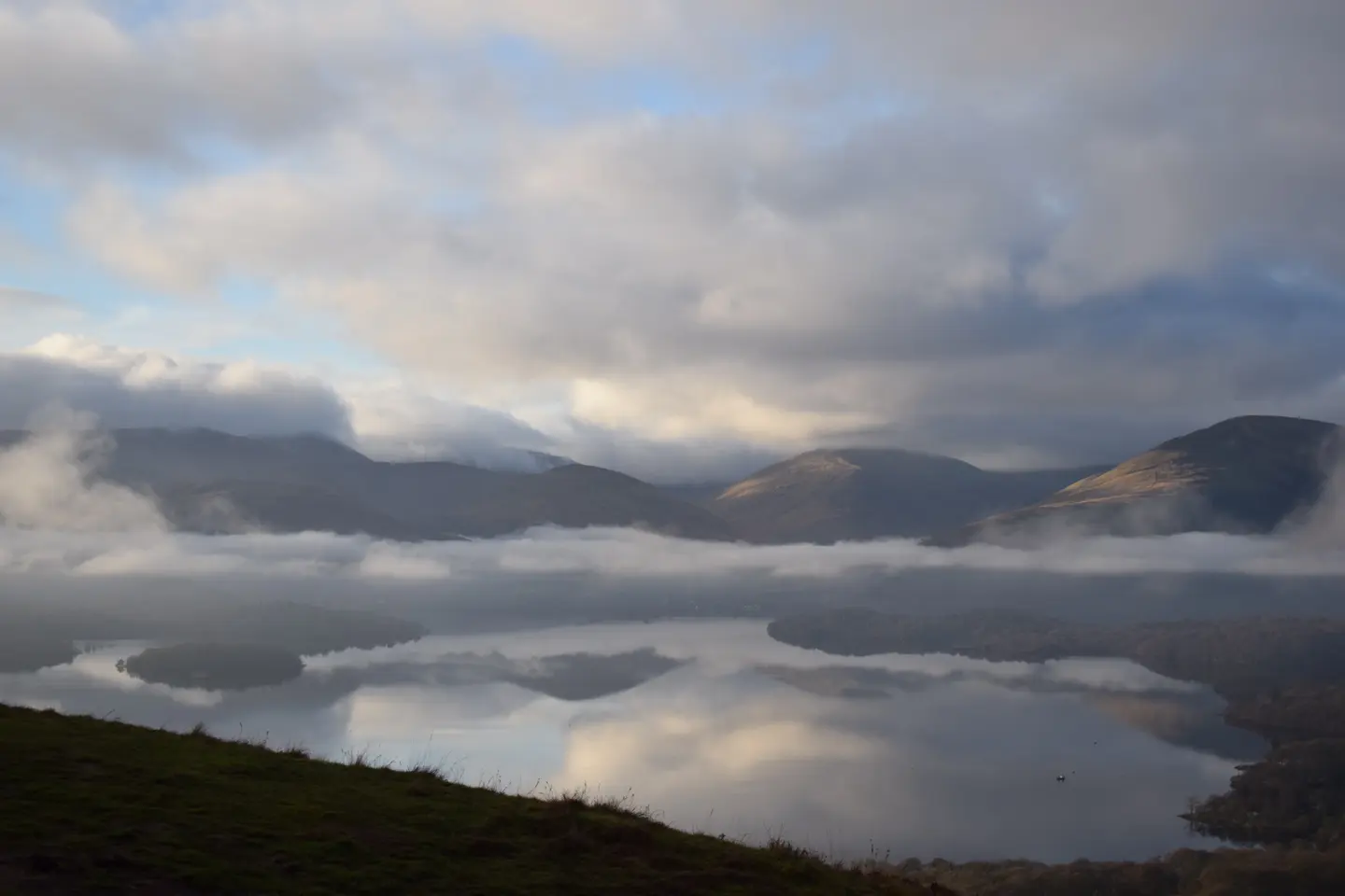
Drymen → Rowardennan
15 miles (24 km) · Moderate
Conic Hill and the eastern shore of Loch Lomond.
Rowardennan → Inverarnan
14 miles (22 km) · Challenging
The rugged north shore of Loch Lomond with rocky paths.
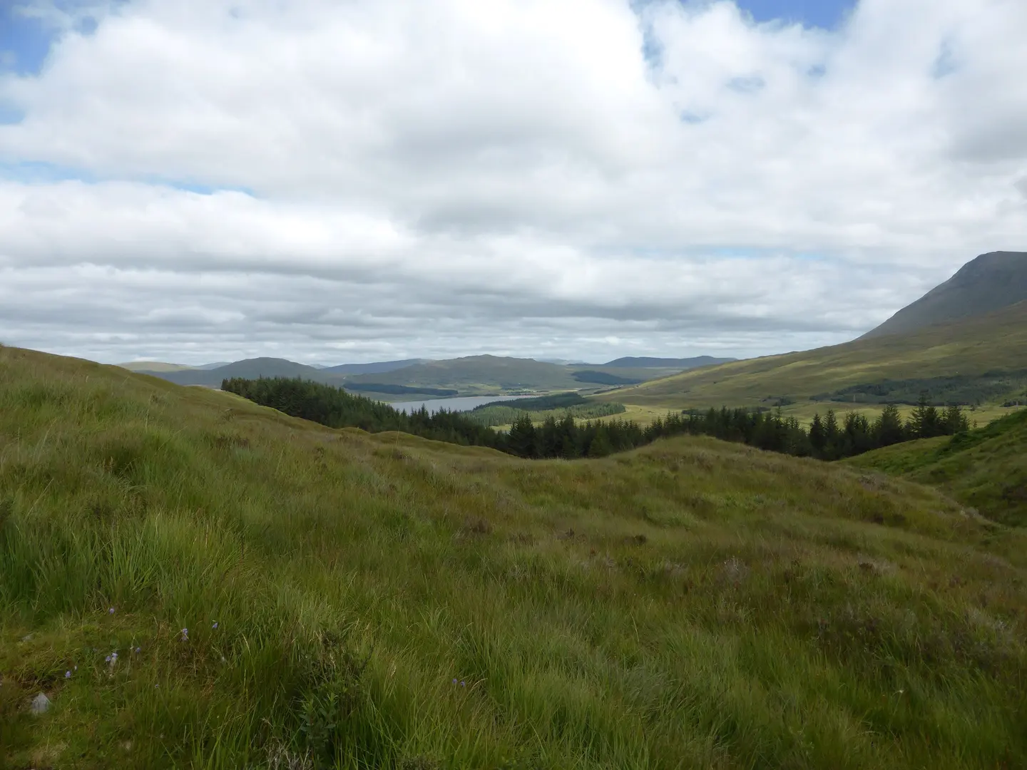
Inverarnan → Tyndrum
13 miles (21 km) · Moderate
Through Glen Falloch and into the Highlands.
Tyndrum → Bridge of Orchy
7 miles (11 km) · Easy
A shorter day across the moorland.
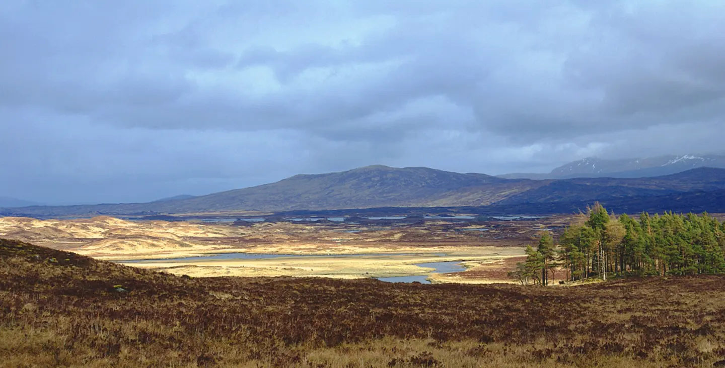
Bridge of Orchy → Kingshouse
12 miles (19 km) · Moderate
Rannoch Moor and the approach to Glen Coe.
Kingshouse → Kinlochleven
9 miles (14 km) · Challenging
The Devil's Staircase and descent to Kinlochleven.
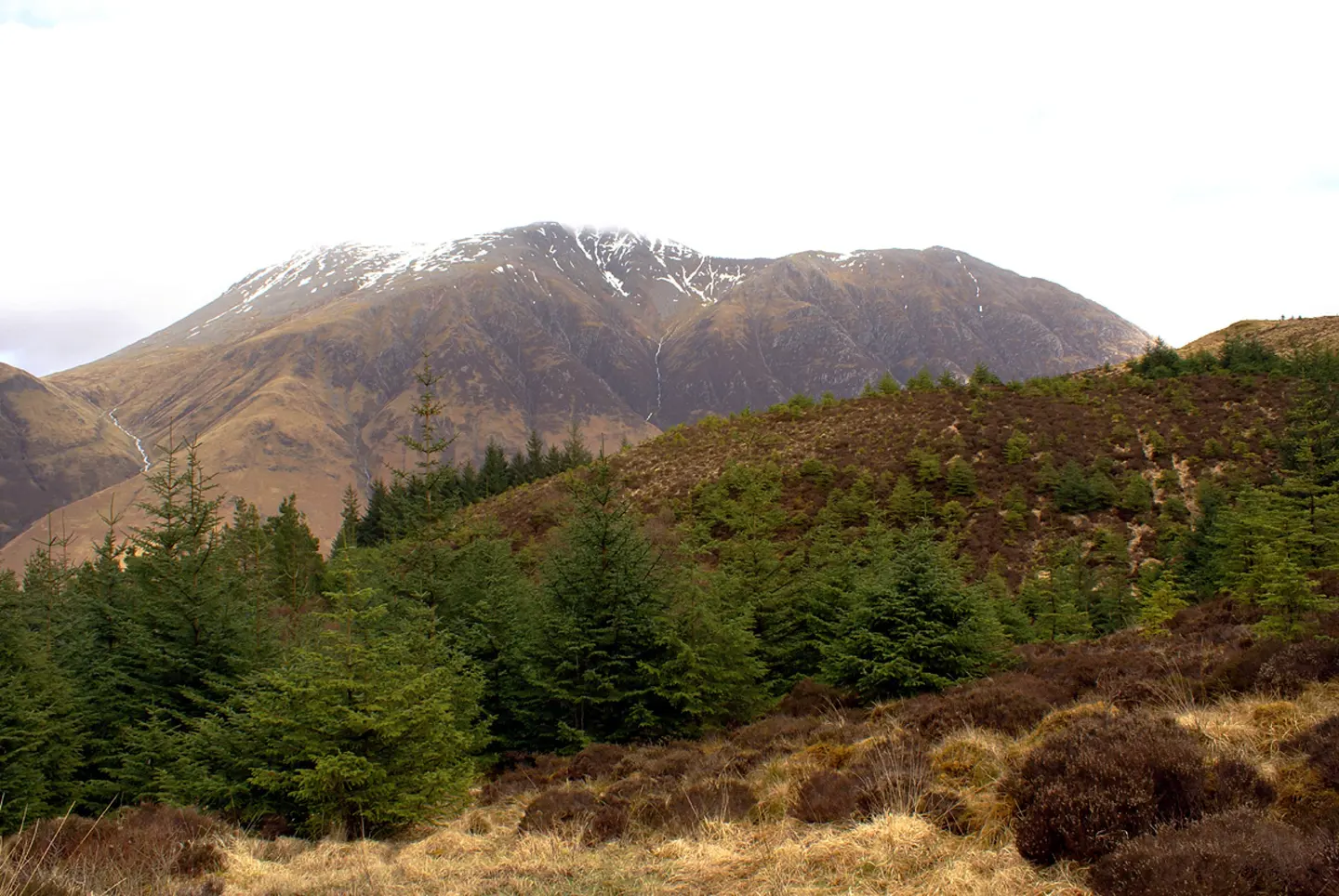
Kinlochleven → Fort William
14 miles (22 km) · Moderate
The final stretch through the Mamores to Ben Nevis.
Or split it however you like
Eight days is the usual shape of the walk, not a rule. Plenty of people stretch it to nine or ten, and the fit and the foolish do it in six. West Highland Way Companion is built around that: you set a goal for each day — wherever you have a bed booked — and it guides you to it, counting down the distance left today and the distance left overall. Elevation for each day shows which stages will climb.
It works in both directions too, so if you are walking south from Fort William the guidance and distances follow you rather than the other way round. See what else the app does.
Which days you walk usually comes down to where you can get a bed, and on this route the beds book up months ahead. Our sister site West Highland Stay lists hotels, B&Bs, hostels and bunkhouses along the West Highland Way, stop by stop, so you can settle the nights first and set your daily goals around them.
Get the app
Set a goal for each day and see your position on the route without a phone signal.