
West Highland Way Companion
The trail, on your phone.
Live GPS on all 96 miles of the West Highland Way — even when there is no signal. Daily goals, elevation, a packing list, and a photo journal. iPhone and Android.
One-off purchase. No subscription. Less than a paper map.
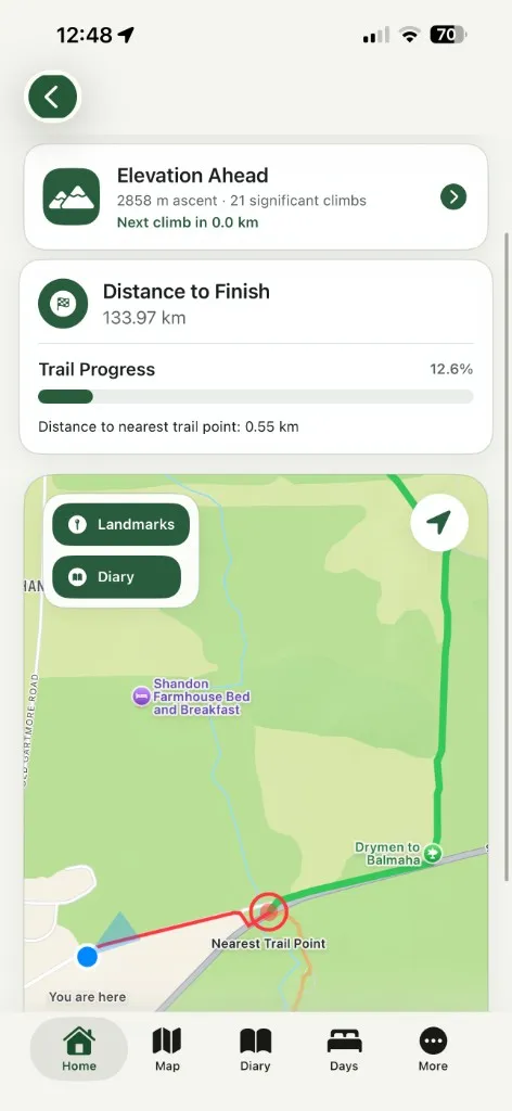
See exactly where you are
The route lives in the app. Your phone finds you from satellites, not masts. North of Rowardennan or out on Rannoch Moor, you still see the Way and yourself on it.
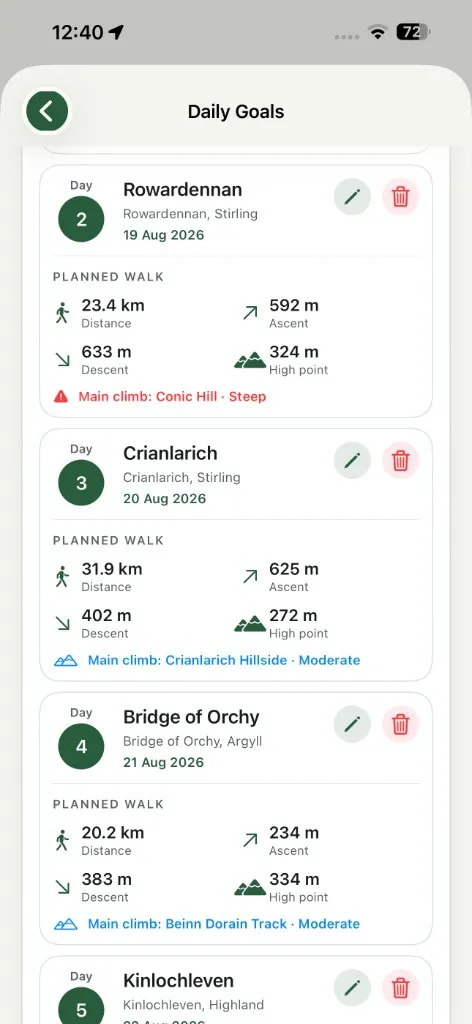
Set tonight’s stop this morning
Tell the app where you are walking to today. It counts down the miles left to that goal, and to Fort William, so you always know how the day is going.
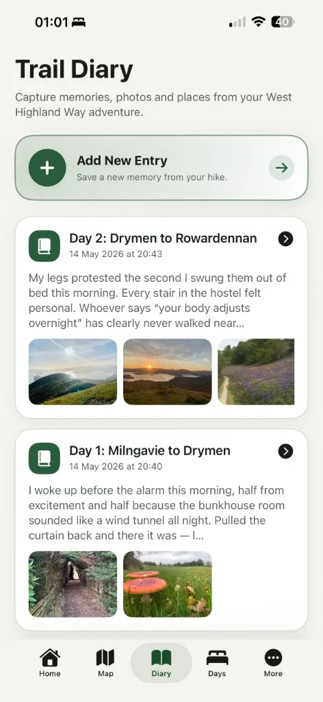
Write it up as you walk
A journal for each day, with your own photographs. When you get home, export the whole thing as a PDF. There is a packing list too, ready to tick off.
Same walk. Two phones.
Android has the map built in. On iPhone the terrain is drawn by Apple Maps, so it may not appear without a signal — but your position and the route line still show, which is all you need to walk yourself back on track.
Every screen
Map, daily goals, elevation, packing list, journal — and the extras that depend on which phone you carry.
iPhone
Includes day and night mode
Map and live position
Daily goals
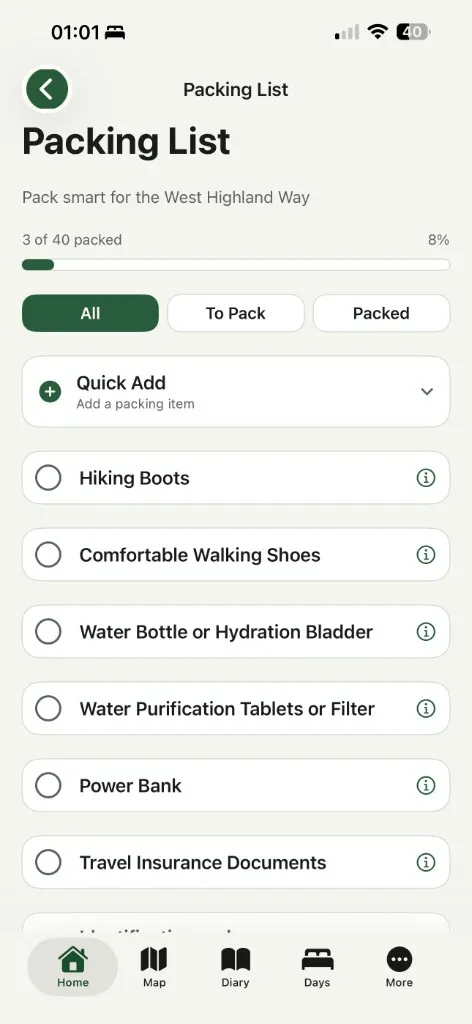
Packing list
Trail diary
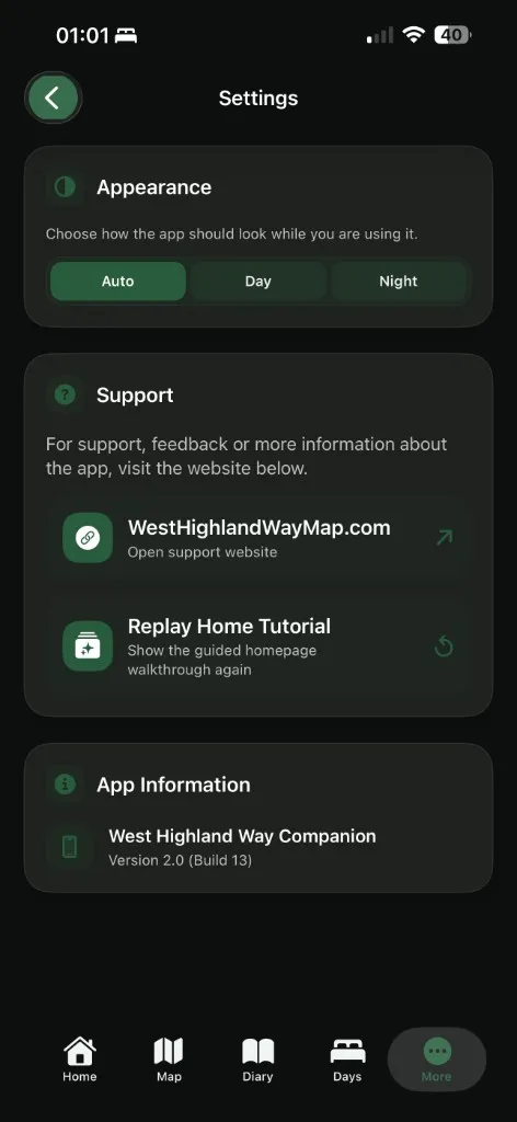
Day and night mode
Android
Includes the built-in map and elevation profiles
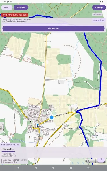
Map and live position
Daily goals
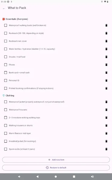
What to pack
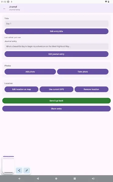
Journal
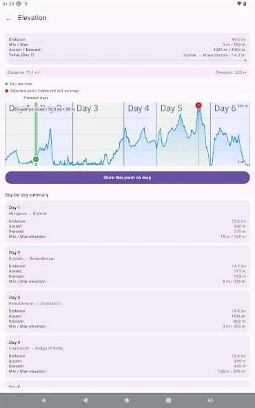
Elevation profile
Get the app
West Highland Way Companion for iPhone or Android. Buy once, keep it for every trip.